
- Diese Veranstaltung hat bereits stattgefunden.
HEAS Talks – Cesare de Filippo
8. November 2024 @ 10:00 - 11:30
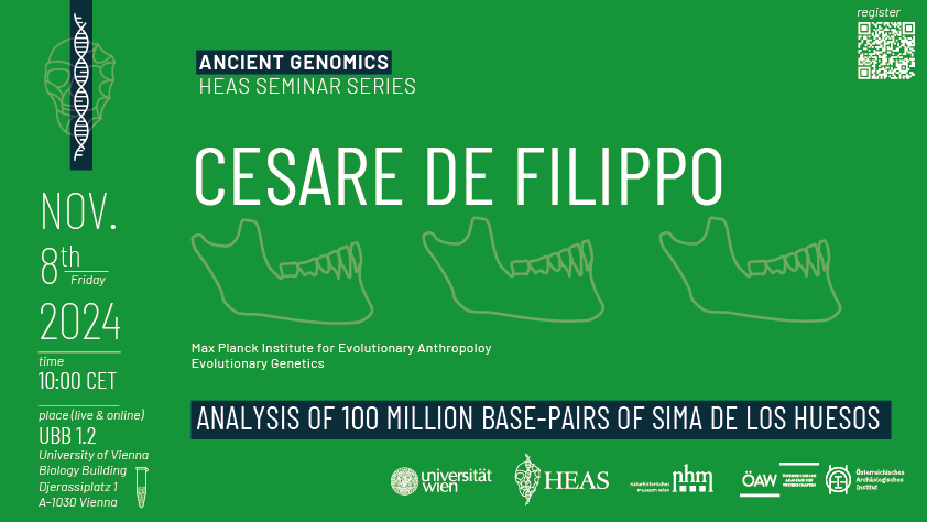
We are looking forward to welcoming Cesare de Filippo to Vienna for a HEAS Talk on Analysis of 100 Million Base-Pairs of Sima De Los Huesos taking place online and in-person on the 8th November at 10:00 CET.
Registration for online and in-person participation is here.